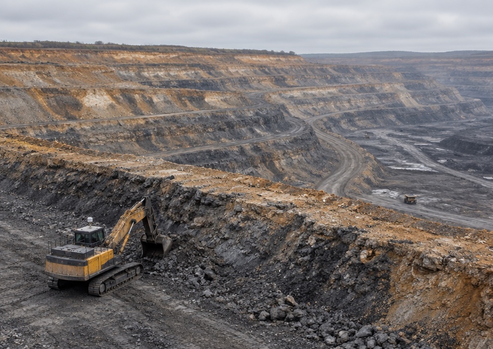
EVAS (Edge & Void Awareness System).
Turning Dangerous Edges. Into Clear Boundaries.
Advanced terrain detection system for Excavators and Dozers that protects operators from dangerous slopes and edges in mining operations. EVAS provides real-time alerts and interventions when equipment approaches hazardous terrain conditions, preventing costly tipping incidents and enhancing operator confidence.
Featured Technology
Edge Detection Evolved: The EVAS Advantage.
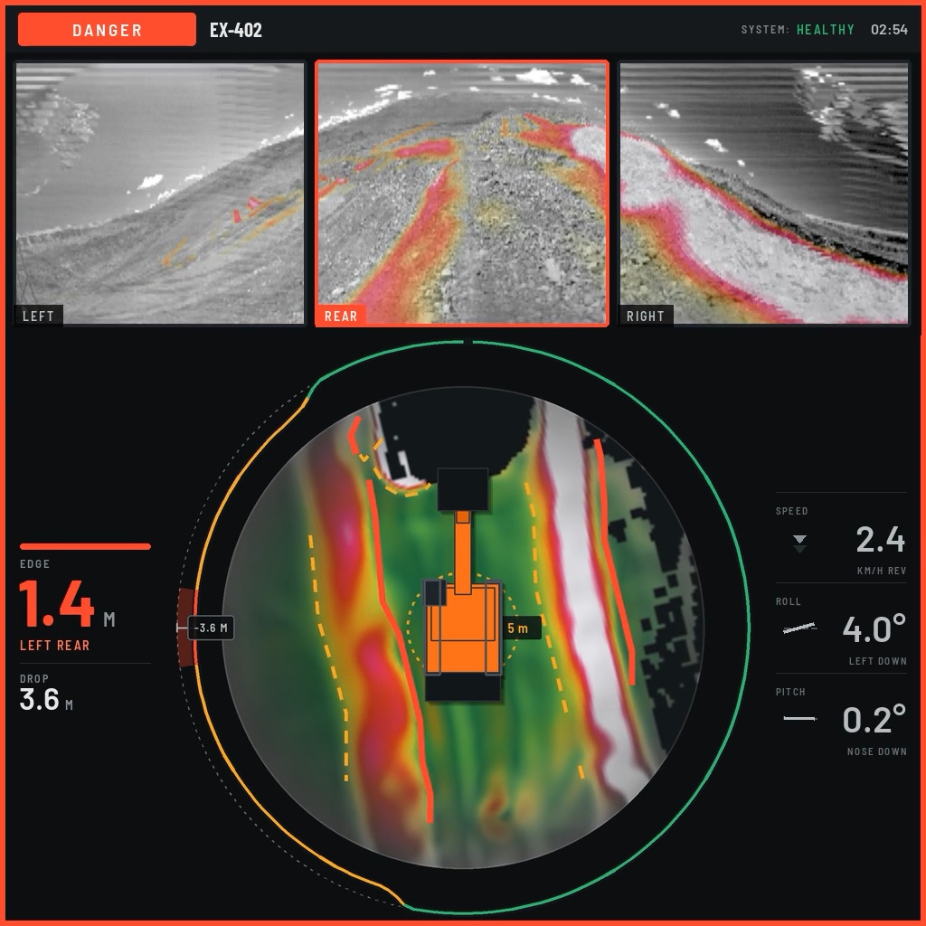
Explore how our Edge Awareness System provides mining equipment operators with unprecedented terrain intelligence. EVAS transforms dangerous slopes and edges from invisible threats to clearly defined boundaries, preventing high-consequence tipping incidents while maintaining operational efficiency in all environmental conditions.
Terrain Hazard Detection
See beyond the visible edge before it's too late
Advanced sensors map the terrain ahead, detecting dangerous slopes and unstable surfaces that are often invisible to operators, especially in challenging visibility conditions.
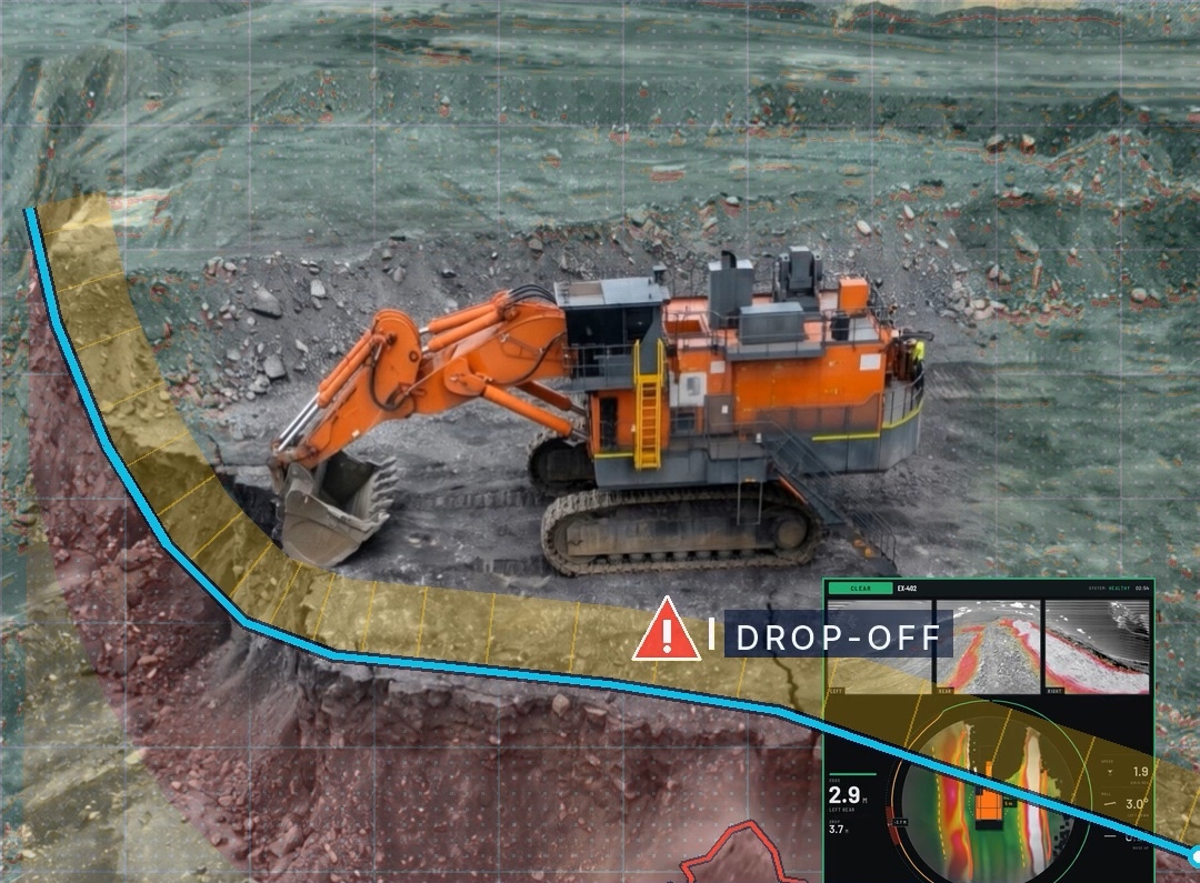
Machine Agnostic Deployment
One system, multiple applications across your fleet.
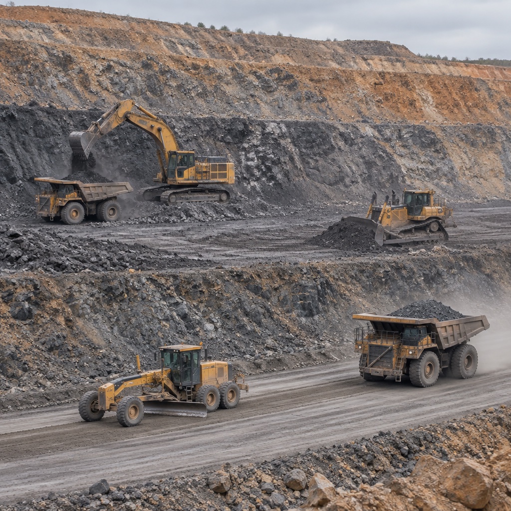
EVAS adapts to any heavy equipment in your mining operations, providing consistent terrain safe work intelligence regardless of machine type or manufacturer. Installs on excavators, dozers, graders, or dump trucks with minimal requirements.
Operator Alert Interface
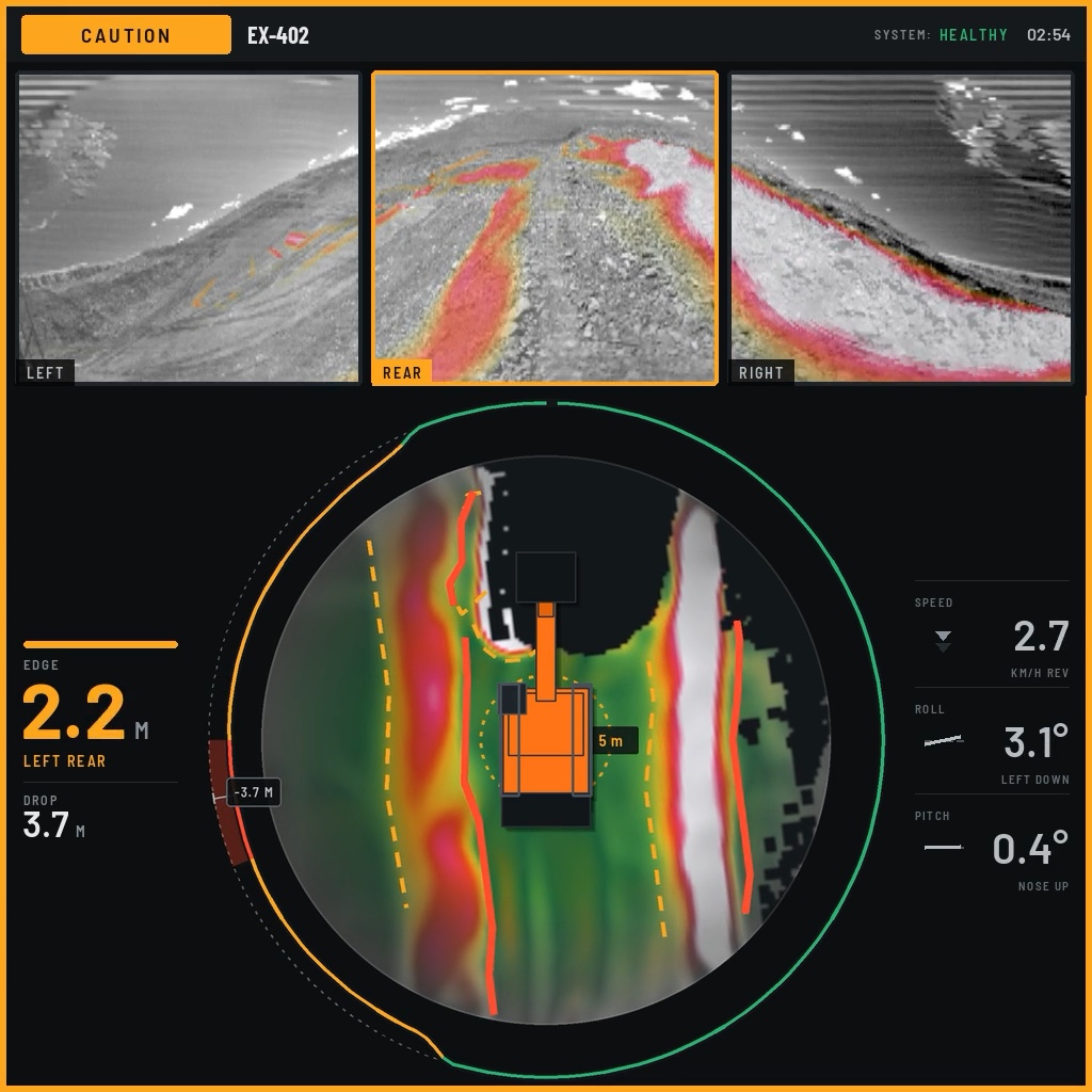
Clear information when and where it matters.
Intuitive visual displays and prioritized alerts provide operators with actionable intelligence without distraction, making complex terrain conditions instantly understandable.
Real-Time Safe Work Assessment
Continuous evaluation so you never guess about your work area.
EVAS doesn't just detect terrain—it analyzes multiple safe work factors in real-time, calculating slope angles and machine positioning with millisecond precision. Unlike periodic scanning systems, EVAS performs uninterrupted terrain analysis during all operational phases, maintaining vigilance without operator intervention.
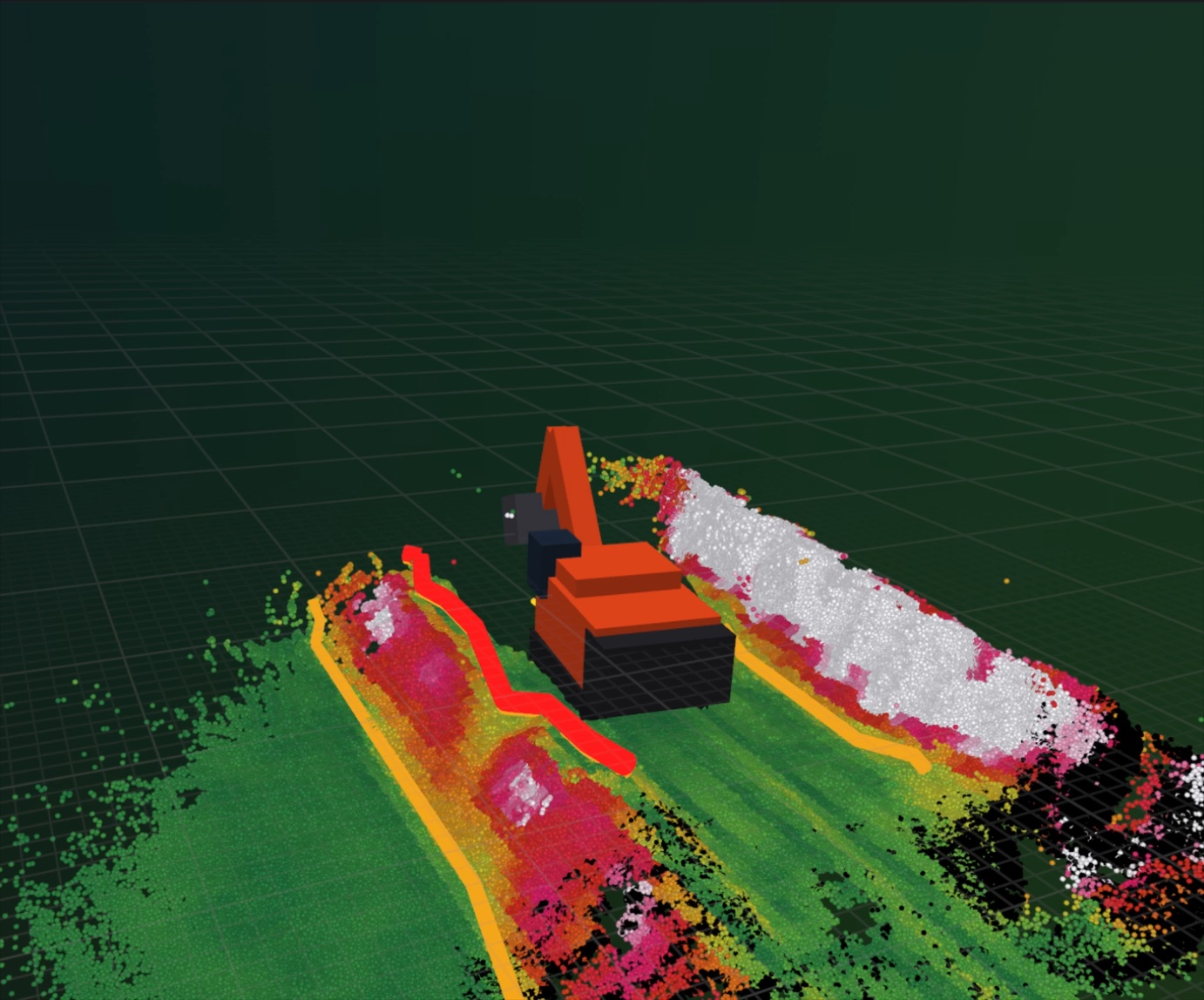
Terrain Mapping
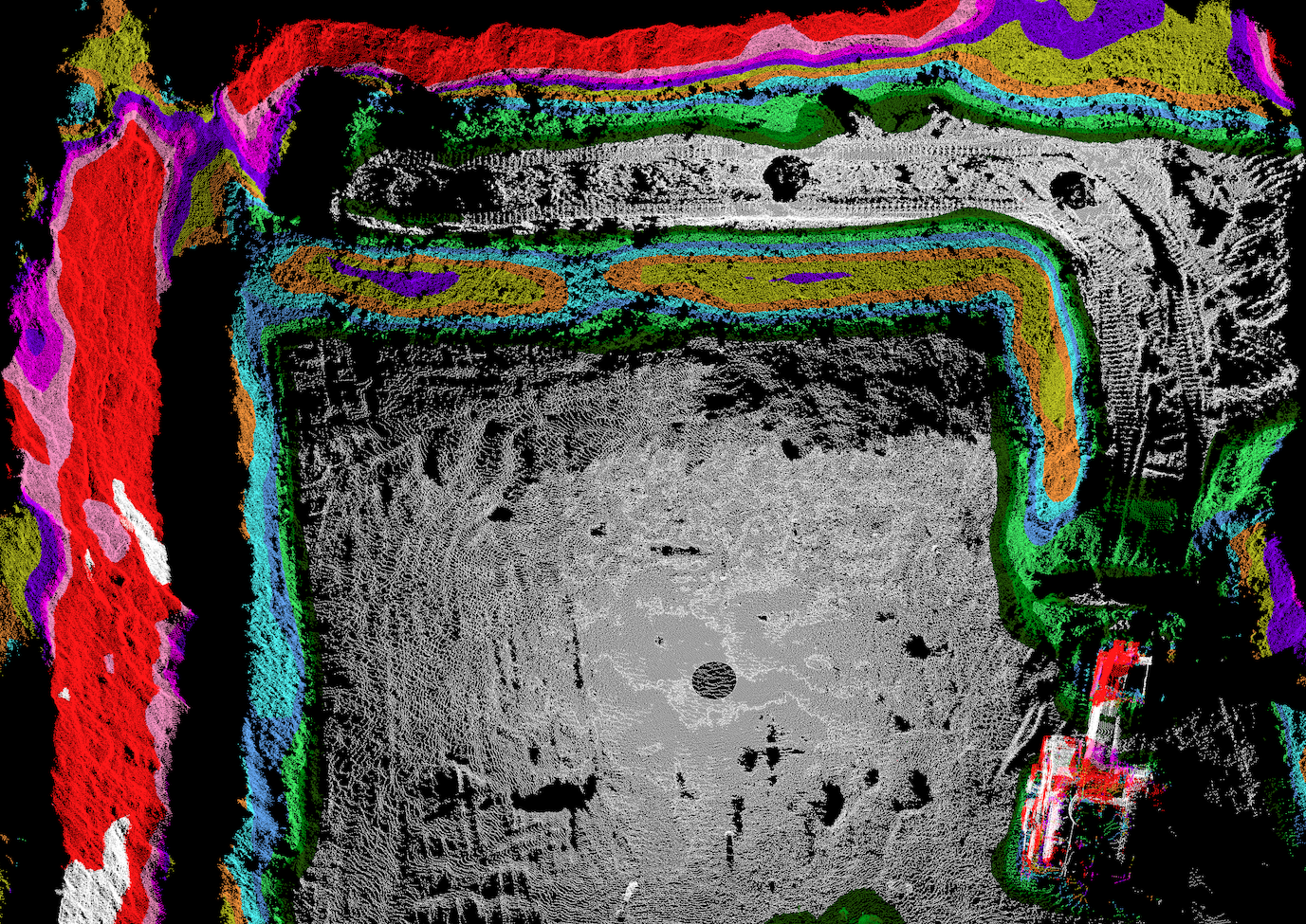
Terrain that updates as the fleet works.
Using vehicle-mounted LiDAR, Bigmate continuously maps the surrounding mine terrain as equipment operates. This real-time spatial data can be integrated into existing mine surveying and planning systems, providing more frequent terrain updates, improving visibility of changing site conditions and supporting safer, better-informed operational decisions.